About the New Jersey State Plan


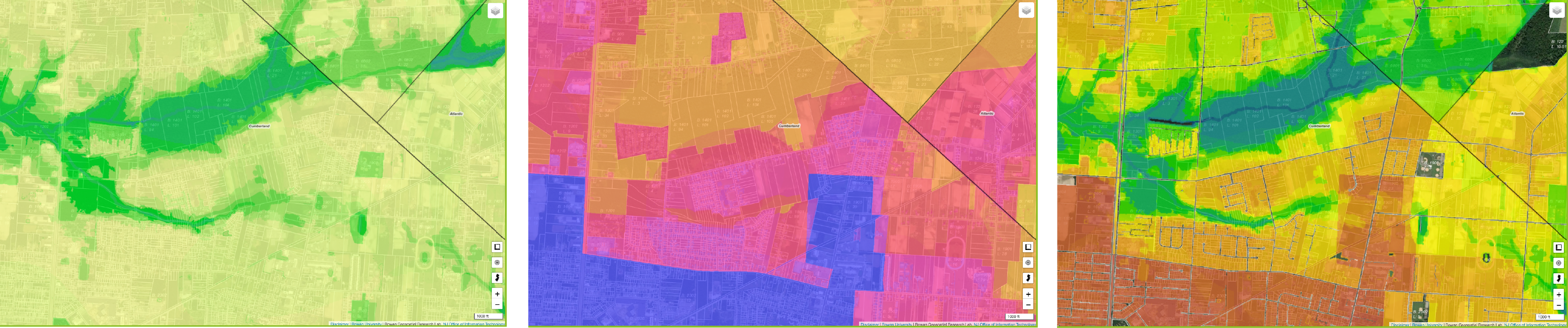
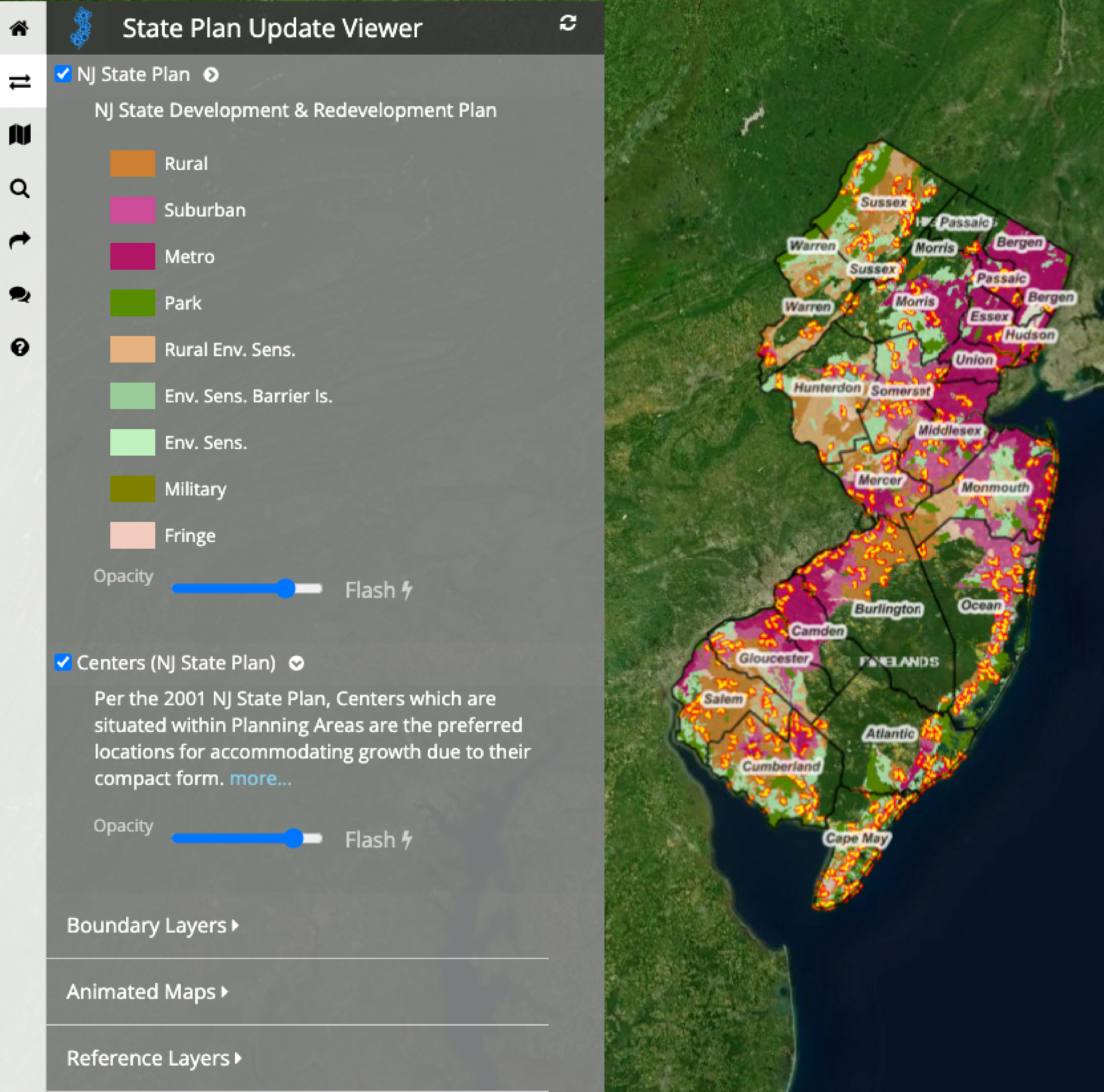
The State Plan Update Map Viewer provides a window into how the NJ State Development and Redevelopment Plan has helped to shape New Jersey's growth since its 1985 inception and the 2001 update. The Viewer is powered by Rowan University's NJ MAP project. Users can explore the patterns of development and open space and the geography of the state's diverse communities and natural resources. This map viewer aims to inform all stakeholders in the update process in order to facilitate a future state plan that best enables a sustainable future.

The Goals of the SDRP are:
  • Revitalize the State’s Cities and Towns
  • Conserve the State’s Natural Resources and Systems
  • Promote Beneficial Economic Growth, Development, and Renewal for all Residents of NJ
  • Protect the Environment, Prevent and Clean Up Pollution
  • Provide Adequate Public Facilities and Services at a Reasonable Cost
  • Provide Adequate Housing at a Reasonable Cost
  • Preserve and Enhance Areas with Historic, Cultural, Scenic, Open Space, and Recreational Value
  • Address the Negative Impacts of Global Climate Change
  • Prevent the Concentration of Adverse Environmental Impacts in Overburdened Communities
  • Ensure Sound and Integrated Planning and Implementation Statewide
  • Click here to explore the State Plan Update Viewer.

    Click here to explore the State Plan Public Input page.

    About the New Jersey Smart Growth Explorer


    Welcome to the NJ Smart Growth Explorer *BETA*! The NJ Smart Growth Explorer is a free, publicly accessible web map made for all NJ residents and decision-makers to understand factors of development, redevelopment, and environmental sensitivity across NJ’s 564 municipalities. It was developed by the Office of Planning Advocacy and the NJ MAP team in Rowan University’s Geospatial Research Lab.

    The Smart Growth Explorer is an interactive map website where users may explore any area in NJ (from statewide to block/lot) to understand existing data and information that may inform better decision-making at the local level. Whether it’s to understand current or potential climate impacts, visualize environmental conditions throughout a municipality, or how to better balance municipal economic growth & development pressure alongside current zoning and master planning. Take a closer look with NJ Smart Growth Explorer!

    Counties and municipalities often lean on the expertise of planners to understand the intricacies of their built and natural environments. However, this professional service is often costly and complex for rural, sparsely populated areas and urban townships alike. NJ MAP provides information tools that function across all 564 municipalities, supporting a comprehensive approach to land management. Free, real-time access to planning information for all stakeholders results in a better informed and more equitable decision-making process.

    More specifically, getting useful information in one place for local officials to utilize in the face of intense land use challenges where important considerations are made on a day to day basis. This allows county and local government the agility to become more proactive. The Smart Growth Explorer provides custom modeling to understand the fabric of ecological integrity that blankets the Garden State while also recognizing the principles of Smart Growth to encourage development/redevelopment in a logical pattern that minimizes detrimental impacts and fosters more sustainable adaptation for our growing population of over 9.2 million!

    Please note the NJ Smart Growth Explorer, while supported by and developed with the Office of Planning Advocacy, it is not part of the official State Plan policy map.

    Made Possible By


    GeoLab
    NJ Business Action Center

    Contact Us

    Do you have questions, concerns or ideas about the State Plan Viewer?
    Please complete the form below. Our team values your feedback!


    Your message has been sent. Thank you!

    Disclaimer


    NJ MAP utilizes best available data from a variety of sources. These sources can be made available so users may assess the integrity and objectivity of the data. While attention is given to present the most up-to-date information, The NJ MAP Team, and its funders, assume no responsibility for the spatial accuracy, completeness or timeliness of data used, and expressly disclaim any and all responsibility for errors, misinterpretations, omissions or other inconsistencies depicted arising from or otherwise related to the maps maintained within this site.

    Maps and data sets found on this site are for planning activities only and cannot and should not be used for any regulatory purposes - this applies to both the parcel and state-wide levels. The information on this website should be used only as a guide; an on-site investigation is the only true way to know which features exist on the ground.